


U.S. Landmarks and Icons Map
Posted by Speakeasy News > Wednesday 27 September 2017 > Ready to Use
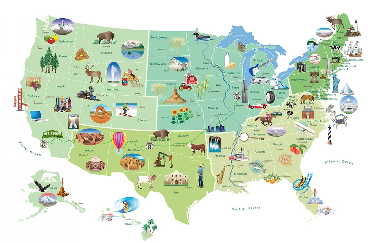
This illustrated map produced by the U.S. State Department provides a visual presentation of U.S. states associated to landmarks and industry. It could be used at various levels, depending on what is to be achieved by the students. We have provided teaching suggestions and a worksheet for an A2 level. This is a good opportunity … Continue reading “U.S. Landmarks and Icons Map”